It was a beautiful day in Ketchikan, so we couldn’t waste it inside. The weather said it’d rain later in the afternoon, so we wanted to get an early jump on the day. I met up with Ali around 9am and we headed up to Carlanna Lake Trail.
The beginning part of the Carlanna Lake Trail is wide and gradual. It’s probably only about a 5-minute walk from the parking lot to the lake, at which point you’re graced with this incredible view.
The lake is always calm, the reflection on point, and that lone tree is just begging to be photographed (check out my instagram of that tree from an earlier hike up here).
Walking alongside the lake is equally as relaxing. The trail meanders through the woods and peeks out two or three times to docks with benches so you can relax on the lake.
Just beyond the lake, you cross a bridge over a stream…
…and then the trail begins its incline. Not difficult, but noticeable. The sun rays were beaming through the tree limbs at this hour and it was gorgeous!
About 30 minutes past the bridge, you hit the Avalanche Chute. Well, you actually hit it about 15 minutes in, but that’s just the bottom of it. The trail winds along the side of it and then cuts through the middle, which is much more picturesque.
As you can see at the top of that picture, the mountain is barren. It’s too steep for any vegetation to grow (just like the cliffs in Misty Fjords), so there’s nothing to hold the snow up when it accumulates. So every winter, an avalanche falls in the same spot and clears out this path below it. So right here, we’re standing in the middle of the Avalanche Chute.
The trail continues to climb through the dense forest, and our morning sun continued to dance with the trees.
Around 11am, or two hours into your hike, we popped out into the open muskeg. At this point the trail becomes all but impossible to follow. Trail markers are placed sporadically throughout, but you will get lost. We got lost on a sunny day with clear visibility. I can only imagine how daunting it would be in clouds or rain. Look for orange or yellow diamonds and then keep heading in that same general direction until you see another one. But also take some time to turn around and admire the view of Carlanna Lake behind you.
About 30 minutes up through the muskeg and you reach the saddle, at which point you can see into the inner part of Revillagigedo Island and see other mountains and lakes. Here’s Perseverance Lake:
From the saddle, you also have a clear view of Juno Mountain.
Ali, just on her second hike now (Deer Mountain was her first real hike) wanted to continue up the mountain, so we headed to the peak.
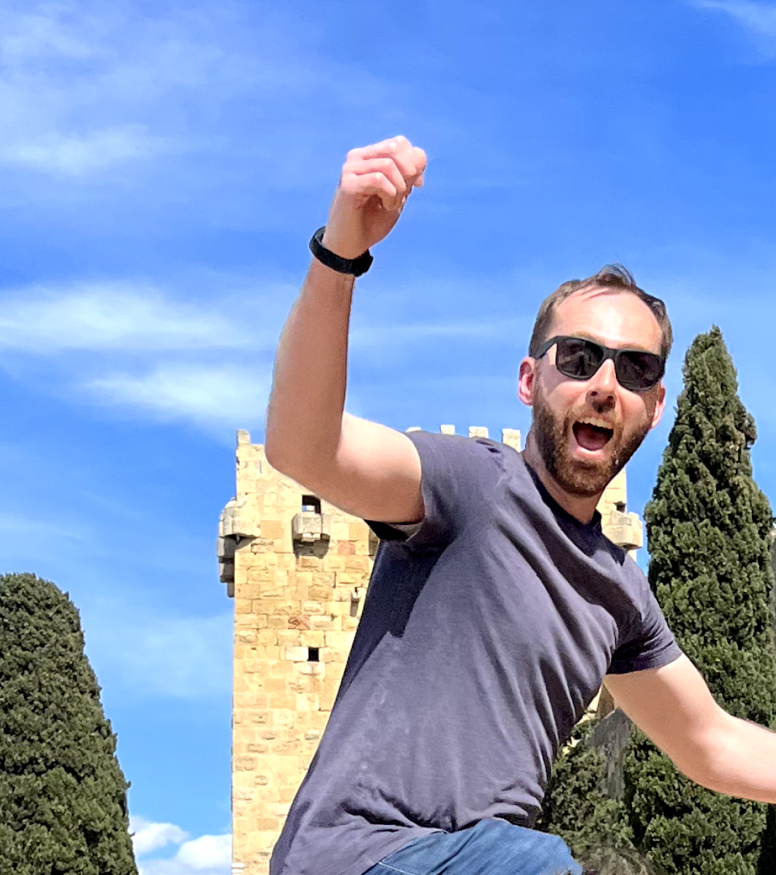
If you’ve been hanging out around my YouTube channel lately you know that I’ve been posting pretty regularly over there. To see what’s captured in the frame when I speak to camera, I usually take a quick selfie and then delete it and record the video. But I liked this selfie, so it didn’t get deleted.
We had to cross through a few more muddy patches, but overall it wasn’t very difficult to summit Juno Mountain at 2600 feet. Just past the summit, we ran into five mountain goats. I didn’t get any pictures – just video. So you’ll have to wait for me to edit that if you want to see them.
We continued on past Juno Mountain with the goal of summiting Ward Mountain, walking through short trees and some pretty leaves that are just starting to change for the Fall.
We found out that the trail doesn’t actually go over the summit of Ward Mountain. It circumvents it and starts to descend quickly down toward the lake. So we about-faced and started our trek back.
We also saw some very dark and ominous clouds approaching. You can see their shadow in this picture:
We skirted Juno Mountain trying to track the mountain goats to get a closer picture, but by the time we saw them again they were forever far away. We got back to the saddle and it had only started sprinkling, although it was looking much sketchier. And then in a matter of about 5 minutes, the whole storm hit and visibility dropped to a few hundred feet.
The hoodies and jackets came out and we started our descent since summiting Minerva Mountain would be less exciting with no view. The wind and rain picked up, but the clouds started to abate so at least we could see. The extra rain made our trail immensely more difficult though. We were slipping and sliding all over the place!
Once we got through the slippery and poorly marked muskeg, the rest of the trail was a breeze. We were back on the lower part of Carlanna Lake trail by 3:30.
And off the trail by 4pm. It was a fun seven hours. Thanks Ali for a great hike!


0 Comments