Two down, three to go. (Of the five peaks in Juneau.)
Tanner and I (and Panda, who had to bail early to go to work) hiked Mt. Roberts today. It was much longer and more difficult than we had anticipated. But much more worth it than I thought it’d be.
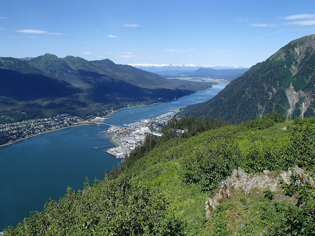 |
| Douglas Island (left) and Downtown Juneau with Mt Roberts Tram station (center) and Father Brown’s Cross (far right) |
We started hiking around 9:30am. Well, I left my apartment around 9am (at sea level) and hiked up to the interns’ apartment on 7th (already at 200ft although it feels like way more than just 200ft). We took the 6th Street entrance because it takes so much longer to go around to Basin Road.
There are a few landslides and downed trees that you have to traverse and the trail itself is a little overgrown, but for the most part it’s an easy-to-follow trail. It takes about 45 minutes at a good pace to get up to the Mt Roberts Tram Station (1800ft). There you can refill water bottles, buy some snacks if you’d like, watch a movie about the history of the native people here, and say hello to a chill bald eagle rescue. This is also your halfway point to the top of Gastineau Peak, so it’s a nice time for a break. And there’s a good view of Juneau and Douglas Island from here.
There’s also a nature center with trail maps and a helpful guide who told us there’s too much snow up top so don’t attempt Gastineau or Mt Roberts. We didn’t believe her, but it’s nice to get a guides perspective anyways. I think she could sense our blasé attitude so she asked us to please check in on our return to make sure we came back safely and didn’t fall off a cliff.
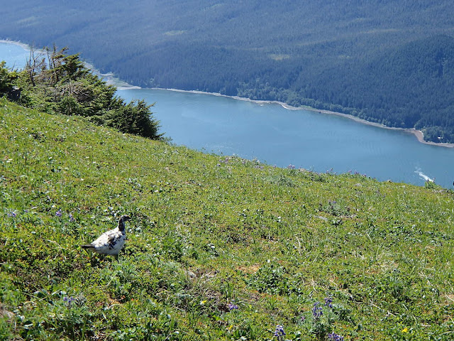
Above the tram we started to see some wildlife, with this Rock Ptarmigan.
We also saw a bear cub scampering off. I didn’t get a picture, but you can see him in the video at the bottom.
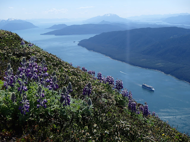
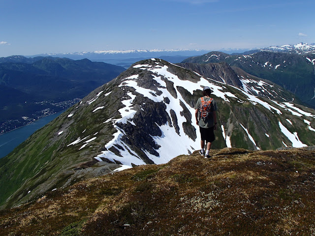
The trail is great (in the sun) because it mostly hugs the ridge line so you constantly have great views of the channel…
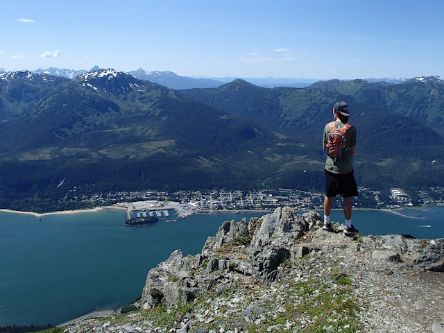
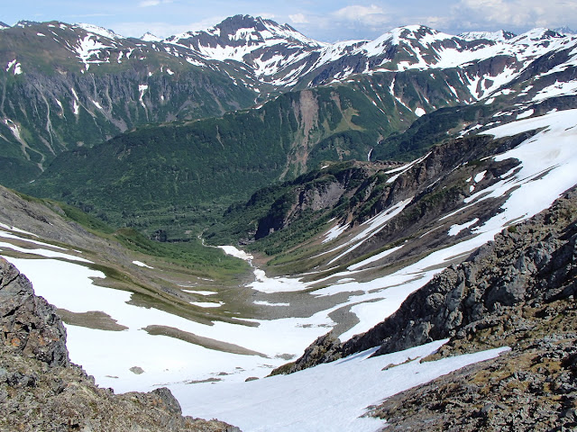
…and the valleys on the inside.
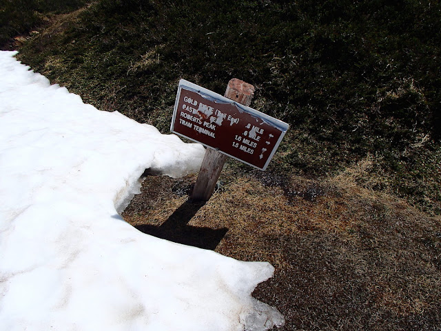
The trail is not marked but it’s pretty well-traveled most of the way, so you shouldn’t get lost. There are no trail markers (well, there’s an occasional inukshuk – that’s the Alaskan term for cairn) and only one sign at the split to go to Gold Ridge.
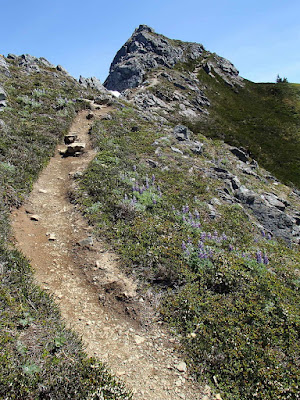
But the trail pretty much looks like this the whole way:
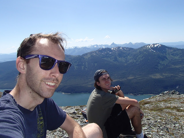
That’s pretty much the peak of Gastineau there, and after that last climb it’s definitely time for a break.
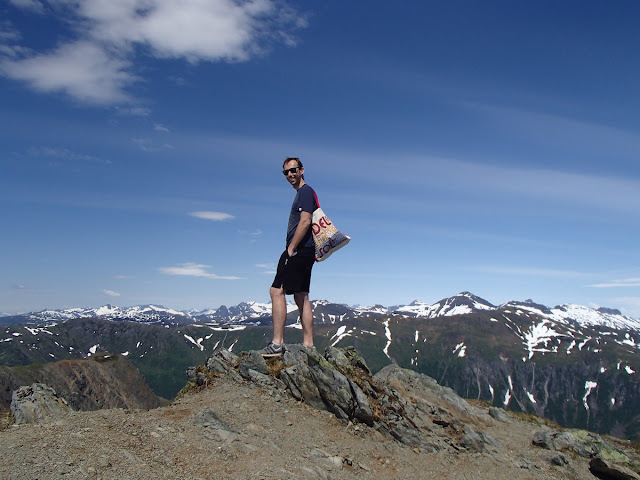
Oh, I didn’t bring a backpack to Alaska this season, so I grabbed a tote bag from work and wore it like a backpack and it worked really well.
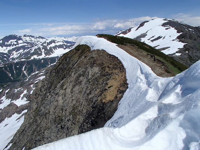
We did cross a few snow patches to get here, but nothing unstable or dangerous. The real snow was between Gastineau and Mt Roberts peak. As you can see in this picture, most of the trail skirts along the sunny side of the ridge.
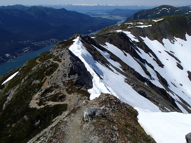
But as you’ll see in the video below, there were a few times we had to cross a lot of snow, so use caution and common sense so you don’t die (July 6 update: sad day – a hiker died on this trail today). Unlike Mt. Juneau, there are crazy steep cliffs and drop-offs all over this trail so be especially careful if it’s raining (it’s one of the reasons I waited until a sunny day to do this hike, but I realize most people coming to Juneau don’t have that option).
From Gastineau (3465ft), you have to drop into a saddle (losing about 400 feet of elevation) and then climb back up to Mt Roberts (3819ft). So when all is said and done, after hiking back down and then up Gastineau again to go home, you’ll have hiked up about 4600 feet of elevation gain.
When we got to the top of Mt Roberts, we were cut off by a snow drift that we deemed too dangerous to cross, so we stopped just shy of the peak.
So we hung out at our near-peak on Mt. Roberts for a few minutes (by the way, this is at 1:30pm, so 4 hours from the trailhead, but we hung out at the tram station for a good half hour at least, and Gastineau peak was at 12:45pm). Then we started our trek back.
We hiked back down to the saddle and back up, this time getting seriously lost somehow and having to climb straight up toward the peak so we could hook into the trail again. Hiking back, you get a good view of Mt. Juneau (3576ft) and the trail zig-zagging up the side. That was the first of my five peaks in five months.
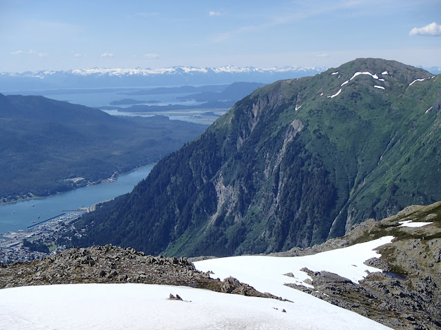
We hiked down to the split and out to Gold Ridge, which is maybe a 20 minute side trail with a sweet lookout over the Glory Hole (watch the video, it’s much more impressive than the pictures I took).
If you just watched that video, you saw that while hiking out to Gold Ridge, I saw an eagle land on a peak a few hundred yards away. I slowly hiked over to it and (as is usually the case with me and wild animals) he was totally cool with me. He let me get pretty dang close.
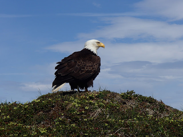 |
| You can use this picture, but please link back to this blog post! Photo Cred: Brian Ciccotelli |
Here’s a video of the entire eagle encounter:



0 Comments